Drone Photography Services
Simple, Turn-key Aerial Photography
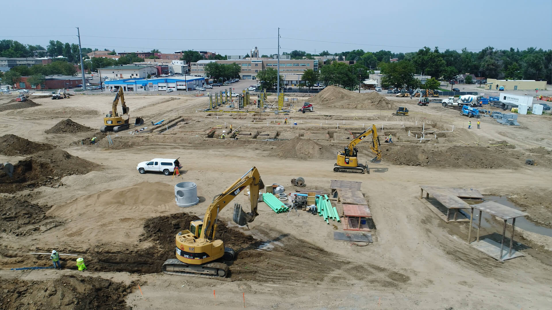
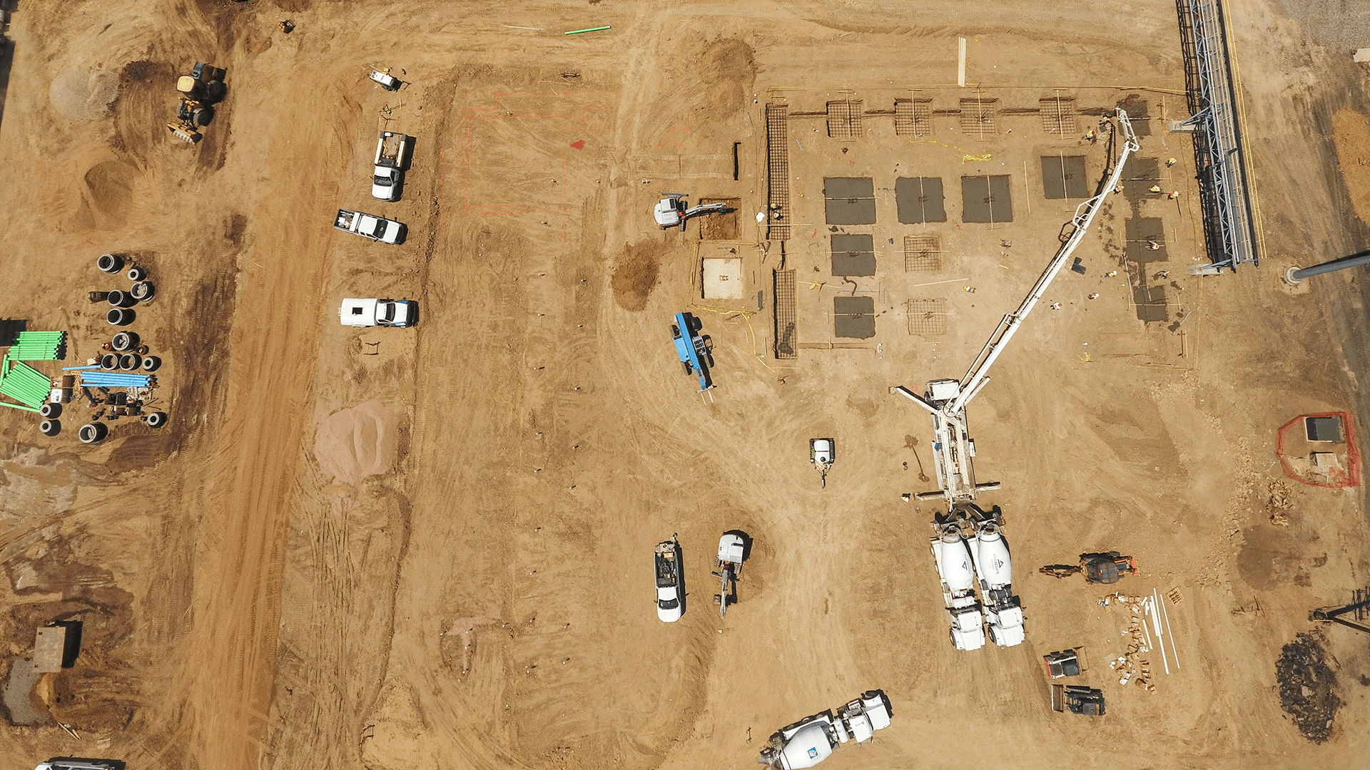
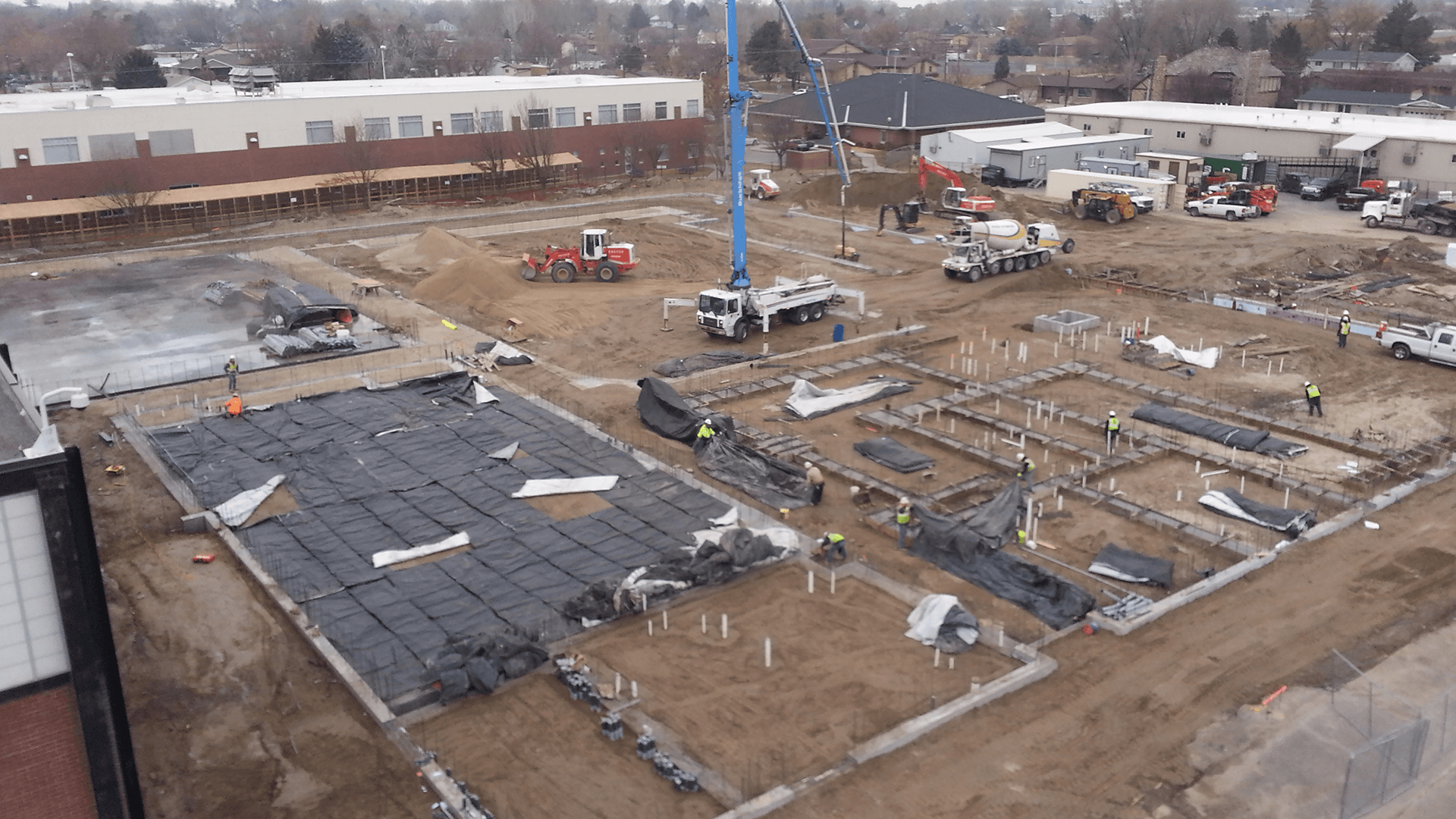
SiteCloud-AERIAL is a turn-key drone photography service for site mapping and project progress documentation. Combined with SiteCloud software, this service provides complete image capture, archival, sharing and workflow. SiteCloud-AERIAL simplifies aerial photo documentation, eliminating the need for Part-107 certification training, owning, maintaining, and transporting drone equipment, offloading and uploading photos, and the need for 3rd party software for archival and sharing.
 For complete visual documentation, order SiteCloud-AERIAL at the start of your project, when ordering your cameras and SiteCloud software and service. Simply provide the address of your jobsite and we will confirm that the site is legally flyable. Flights will be set on a nominal schedule which you can modify at any time from your SiteCloud dashboard. The dashboard shows the status of upcoming and completed flights, and imagery from each flight is uploaded to your account automatically upon flight completion. Images are then available alongside your other camera and SitePOV mobile app imagery for markup, export and public page sharing. SiteCloud AERIAL imagery can be transferred automatically to your Construction Management Software System for permanent archival, issues documentation, sharing, and more. Currently supported software includes: Autodesk® Construction Cloud, PlanGrid, and Procore®
SUPPORTING DOCUMENTATION
KEY POINTS
- High Resolution 12MP Stills, 1080p Video Imagery
- Automatic Notification of Flight Completion
- No-touch Image Upload, Archival, Sharing
- Image Markup
- Automatic Workflow to Autodesk BIM360, PlanGrid, Procore
- Automated Credit/Rescheduling for Weather-scrubbed Flights
- Reschedule Flights to Match Project Milestones